Click below for more...
The site is managed by the ASI, so the amount of concrete used in some of the reconstructions is annoying. Mercifully these are restricted to the internal fort.
The layout of the whole fortified site is triangular. To the north stands Kṛṣṇagiri built on a hill that rises out of the plain like a huge termite mound. A massive (elephant-proof) rampart connects it to the main attraction: Rājagiri, a spectacular fortress built upon a towering granite monolith to the South West (see the cover photo on Deloche’s book above). Another vast rampart crosses the plain and impossibly rises up the steep slopes to join Candrāyaṇadurga, which as its name indicates is shaped like a lunar crescent. A lesser wall (though still incredible to see) crosses the valley strewn with granite boulders to join Rājagiri. Within this triangle lies what Deloche calls the “internal fort,” while the ancient city lay on the plains just West of Candrāyaṇadurga. Numerous temples are dotted about the site.
 This is a gun placement near Kuraṅgudurga if I remember right. Incidentally, one of the first useful dating tools I learnt from Jean Deloche is that rounded fortifications generally post-date the introduction of firearms to India, square towers and sharply angled fortifications predate it.
It is prudent to avoid Rājagiri and Kṛṣṇagiri on weekends. While it is easy enough to escape any given throng of jeering tourists (just walk briskly up hill for a few minutes), the problem is that one inevitably just bumps into the next one. In any case, there is now a hefty entry charge for Rājagiri, so repeated visits are to be avoided.
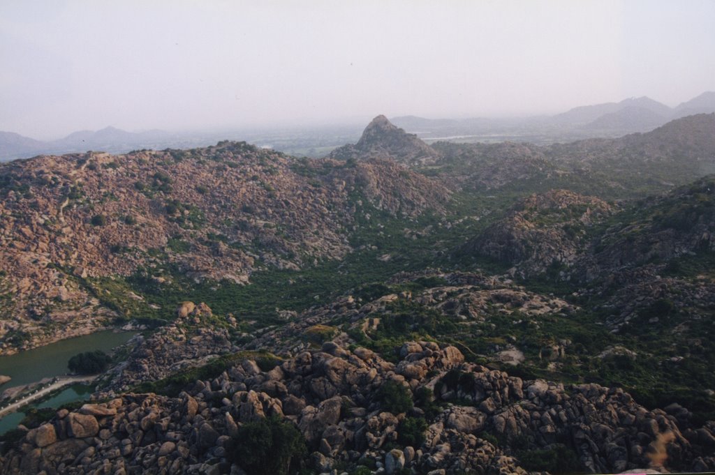 This picture shows the view from the top of Rājagiri, looking towards Kusumalai, (the tooth-shaped peak on the horizon), the water in the left of the picture is Chettikulam.
Candrāyaṇadurga is virtually untouched by the ASI but there is no convenient access, I usually made my way across the boulder field South of Chettikulam (because that lies in shadow in the morning) and then enjoyed the taxing climb up to its lowest ramparts to one of the small gateways.
There are two more fortifications on high points beyond the main triangle: Kuraṅgudurga and Kusumalai. This post is about Kusumalai, the furthestmost fortification of the site.
 This snippet of Deloche’s excellent map shows the topography surrounding Kusumalai. There are a number of ways to reach this site, the most enjoyable is as follows.
 Make sure you bring a few litres of water and have adequate footwear. It is inevitable that the thorny plants will destroy your clothing, so wear something dispensable. Avoiding the main entrance to the internal fort, go straight to Chettikulam. Make for the large tree beside the Āñjaneya temple (beware the gang of mischievous monkeys) and pass through the remains of the “Devils Gate”.
 There is a dirt track used by goat herders that leads to the small Śiva temple. You do not want to go that far along it, though. Shortly after you reach the Nadumandapa leave the track heading due South. This may be painful for the first few yards if the thorn bushes are dense, it gets easier later on. Head for what looks like a giant wave of rock and then try to find a way up it (some climbing skills are needed). This eventually brings you up on to a granite plateau strewn with huge boulders, a very agreeable place to just spend some time, the stillness and natural beauty are quite amazing. The bouldering enthusiast can spend many happy afternoons climbing these rocks. Just to the east of this plateau lies the pond called Allikulam.
If it is very hot this is a good place to doze beneath some rocks. There are a few undocumented rock paintings of lizards etc. here, I only spotted them by accident after more than a year of regular visits, so well concealed are they.
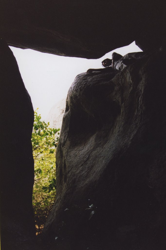 A pleasant place for a rest.
Though Kusumalai seems close from here it is probably a good one hour climb to the top even if you know the way. Needless to say there are no “paths” any more. Here I can improve on Deloche’s map. Just to the North of the round bastion in the centre of his map runs a well concealed flight of “steps” carved into the acutely sloping wall of granite. The reason he never spotted them (and neither did I at first) is twofold. Firstly, the lower half is overgrown with thorny creepers, secondly they seem to have been ingeniously carved so as to be invisible from below. I only saw them after climbing over the northern walls rising from the cliff of the north-western outcrop and then making my way along the parapet.
 Such suicidal tactics are not called for, simply try to make your way either over the boulders or else through the caverns below them to a spot beneath the rounded bastion, then start climbing the monolithic rock. After a few yards the steps will suddenly become visible. These lead to a small door ( a sketch of this is (d) on p.55 of Deloche). Beside it is a relief of Hanumān set into the wall (also not documented by Deloche, it only stands out when the light is right). If you have no water left by this stage, return immediately. Otherwise proceed into the remains of the fort and head for the citadel.
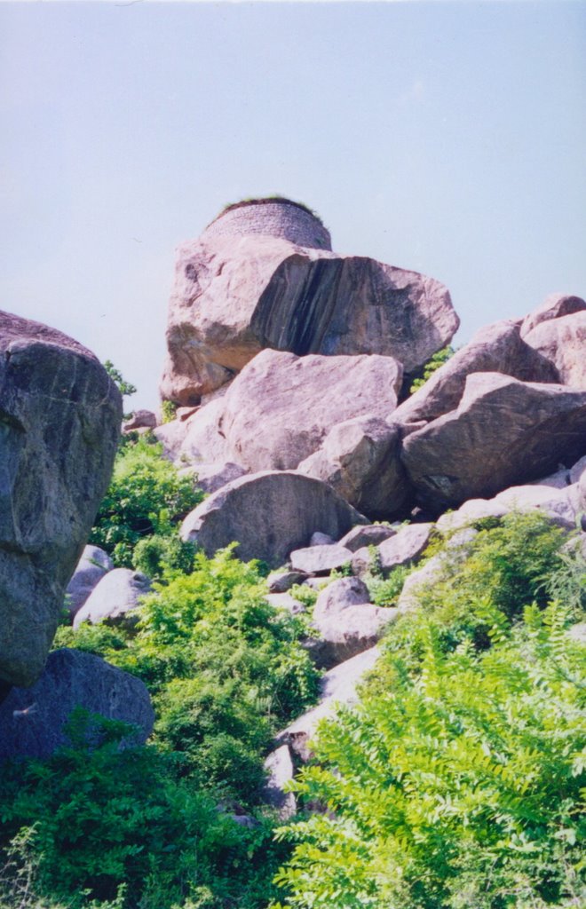
Incidentally, there is another small door not noted in Deloche's maps and sketches. This is in the stonework to the north-west (see picture). I found no traces of paths leading to this entrance.
Deloche’s map does not indicate this, but there are remains of circular stonework on the very top of Kusumalai.
 My hand is to the left of this image, giving the scale. The stonework is visible on top.
 The serious Sanskritist will naturally seek to arrive armed with insights gleaned from suitably obscure texts. Senji is supposed to be just about the only South Indian site with more or less intact fortifications, so it is a veritable treasure trove for “mere textualists with antiquarian interests (c).” After reading through the Arthaśāstra section on fortresses for an overview, the specific text to read is the little known Sāṃrājyalakṣmīpīṭhikā (attrib. Ākāśabhairavakalpa) “The Emperor’s Manual,” ed. M. Sadasivam, Tanjore Saraswathi Mahal Series No. 58, Thanjavur 1990. More about this in a subsequent post.
 View of Rājagiri from the top of Kusumalai.
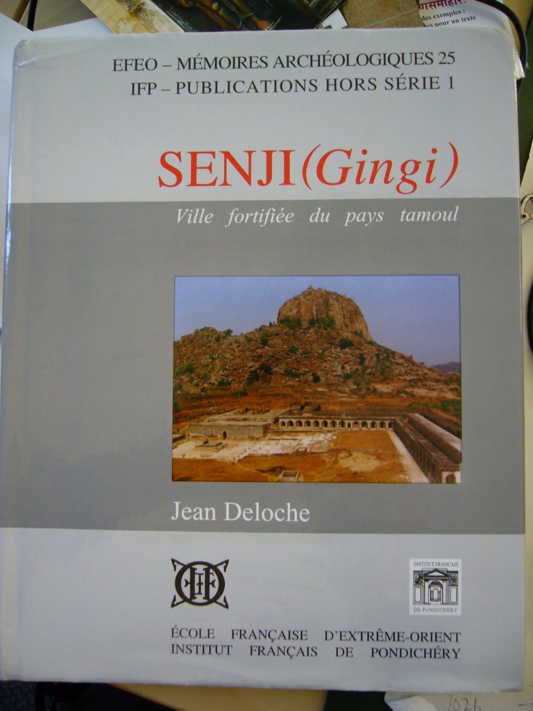
 Deloche, Jean: Senji (Gingi), ville fortifiée du pays tamoul, Paris / Pondichéry, EFEO (Mémoires archéologiques, 25) / IFP, 2000.
Reviewed: School of Oriental and African Studies.Bulletin Vol. LXIV, Part 3, 2001, By George Michell p. 426
No comments:
Post a Comment